Filtri
Filtri
- Lauree di secondo livello
- Europa
- Svezia
- Programmi di scienze naturali
- Geoinformatica
Ordina per
4 Geoinformatica Lauree di secondo livello Degree Programs in Svezia
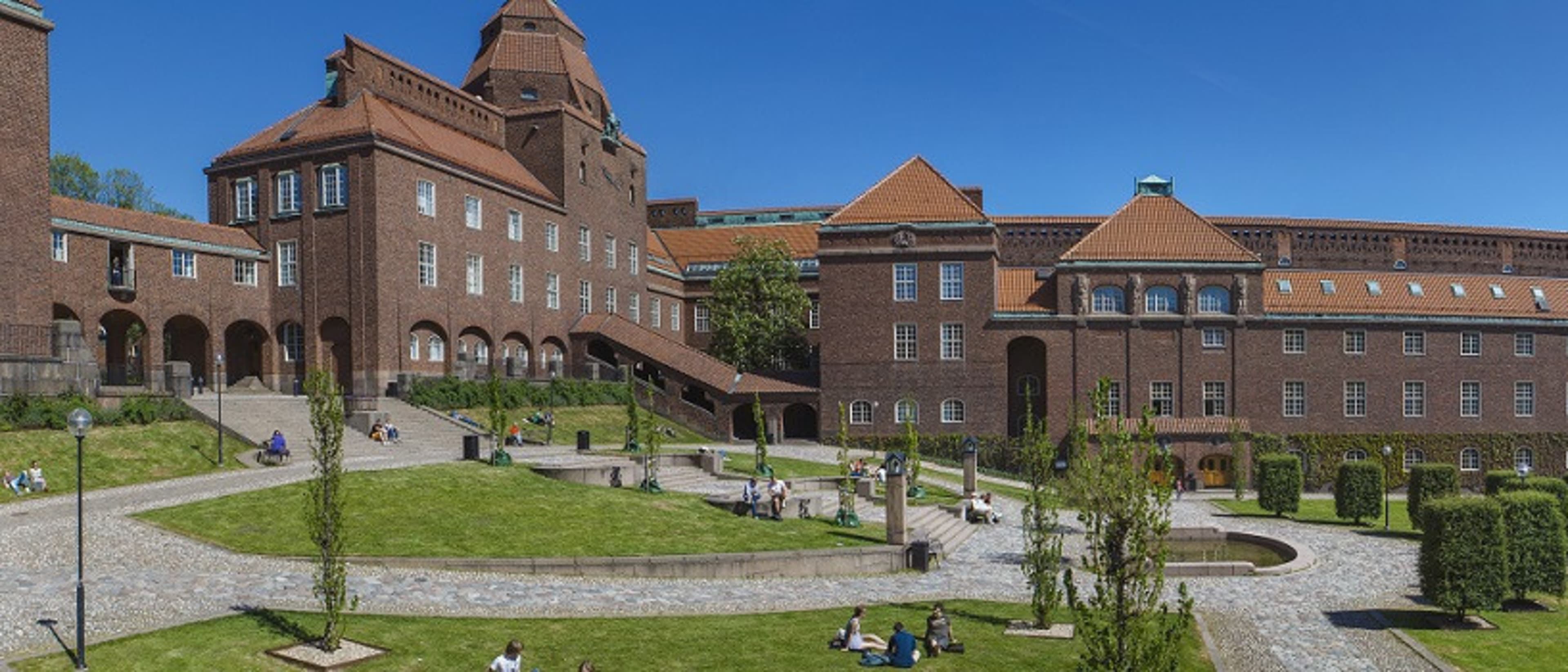

KTH Royal Institute of Technology
MSc Transport and Geoinformation Technology
- Stockholm, Svezia
MSc (Laurea di secondo livello in Discipline scientifiche)
Tempo pieno
2 anni
Nel campus
Inglese
Functional and environment-friendly transport systems are vital in a sustainable society. Students gain expertise in transport and geoinformation technology and learn how to plan, build and maintain advanced transport systems. Graduates blend practical data collection and modelling skills with an interdisciplinary understanding of transport and geoinformation that lead to job opportunities in various sectors.


Stockholm University
Master in Geomatica con telerilevamento e GIS
- Stockholm, Svezia
MSc (Laurea di secondo livello in Discipline scientifiche)
Tempo pieno
2 anni
Nel campus
Inglese
Questo programma di Master sviluppa le competenze degli studenti in diversi campi, come il telerilevamento, il GIS, i metodi di modellazione, l'analisi esplorativa dei dati e la visualizzazione, con particolare attenzione alle Scienze della Terra e dell'Ambiente. Il cambiamento del paesaggio, il monitoraggio e la mappatura ambientale, così come le questioni ambientali in generale, occupano un posto di rilievo nell'agenda politica quotidiana.
I programmi migliori per te
Rispondi ad alcune domande e ti suggeriremo dei programmi corrispondenti!


Lund University
MSc in Geomatics
- Lund, Svezia
MSc (Laurea di secondo livello in Discipline scientifiche)
Tempo pieno
2 anni
Nel campus
Inglese
Geomatics involves the acquisition, management and analysis of phenomena with a spatial reference. The spatial analysis finds applications in many areas, such as health, environment management, natural resources assessment, urban planning, geology, archaeology and agronomy. This programme aims to provide you with knowledge in spatial analysis focusing mainly on environmental applications. Models and theories for understanding the Earth’s climate and ecosystems are integrated with knowledge for collecting environmental information using remote sensing, storing the information in databases and theories behind Geographical Information Systems (GIS).
Lund University
MSc in Geographical Information Systems
- Lund, Svezia
MSc (Laurea di secondo livello in Discipline scientifiche)
Tempo pieno, Mezza giornata
2 anni
Insegnamento a distanza
Inglese
This is an internet-based distance learning programme in which you learn how to analyse and model spatial phenomena, focusing on natural resources, using GIS (Geographical Information Systems) and remote sensing and environmental modelling. You can adopt the learning methods that work best for you and choose your own pace of study for any given semester. The programme offers hands-on training using up-to-date software and affords the opportunity to achieve deep theoretical understanding, as well as excellent technical skills, of e.g. spatial programming, SDI, database management, cartography and environmental modelling. The programme is taught by world-class faculties in Sweden (Lund University) and the Netherlands (University of Twente).
Tipo di corso di laurea popolare
Piano didattico popolare
Learn more about Geoinformatica Lauree di secondo livello degree programs in Svezia
Gli ingegneri del futuro o attuali, interessati alla tecnologia di rilevamento utilizzata in applicazioni come la cartografia, potrebbero essere interessati a proseguire lo studio della geoinformatica. Come branca dell'ingegneria, la geoinformatica può essere focalizzata sulla tecnologia, la raccolta, la conservazione e l'analisi della geografia.
Svezia (Sverige) è il più grande dei paesi nordici, con una popolazione di circa 9,5 milioni di euro. Confina con la Norvegia e la Finlandia ed è collegato alla Danimarca tramite il ponte di Öresund (Öresundsbron). La Svezia ha una forte tradizione di essere un, paese discreto aperta.